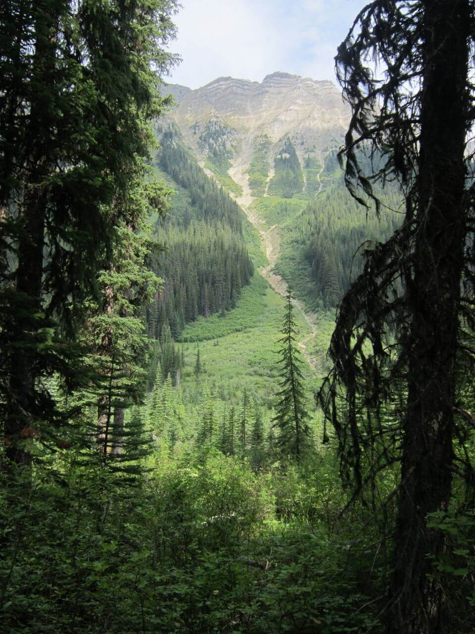
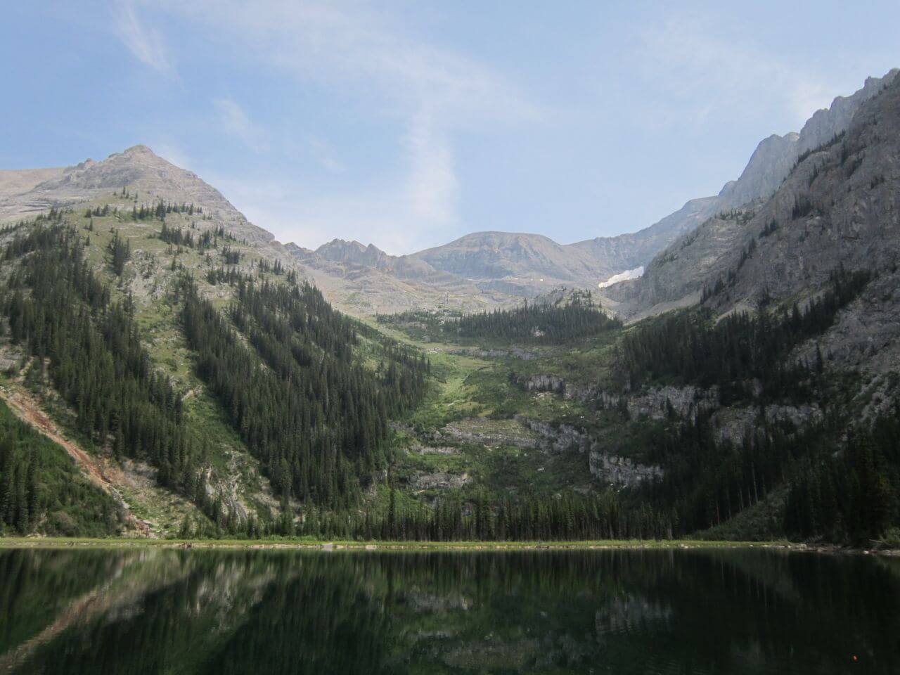
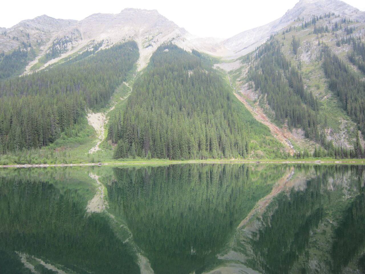
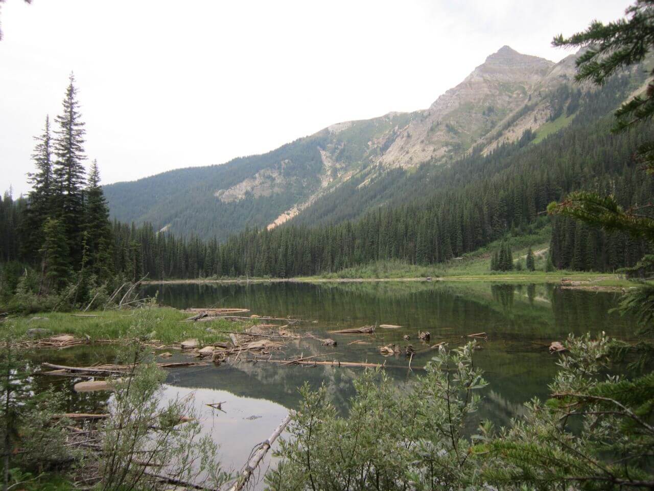
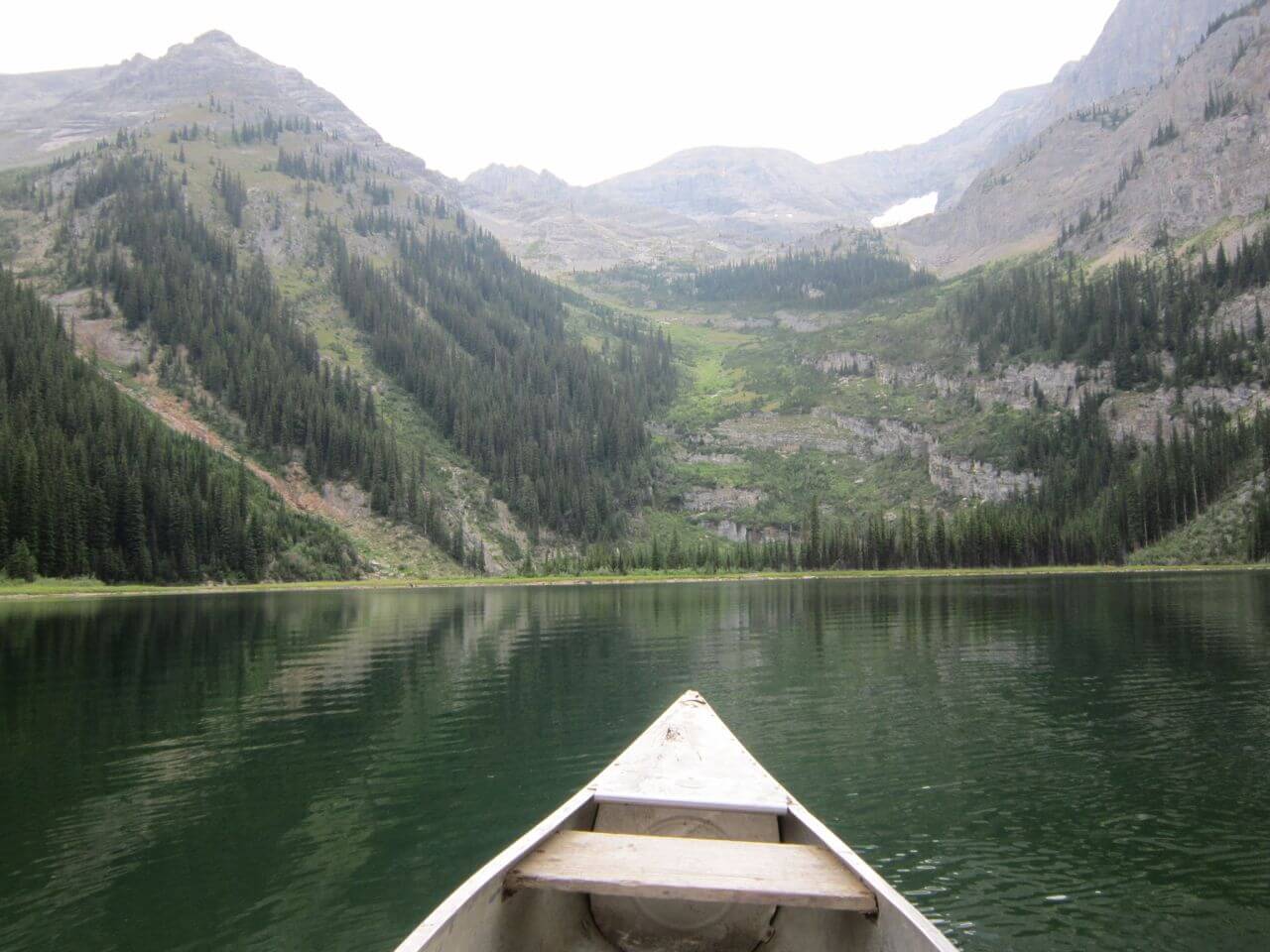
A short easy hike into an sub-alpine lake.
GORA trail crew report, July 3, 2018:
Trail is in good condition with no downed trees. Road access is good, but a high clearance vehicle is recommended for the decommissioned creek crossing.
A short easy hike into an sub-alpine lake.
GORA trail crew report, July 3, 2018:
Trail is in good condition with no downed trees. Road access is good, but a high clearance vehicle is recommended for the decommissioned creek crossing.
Trailhead
Located in the cut block and identified by a trailhead kiosk.
Trail
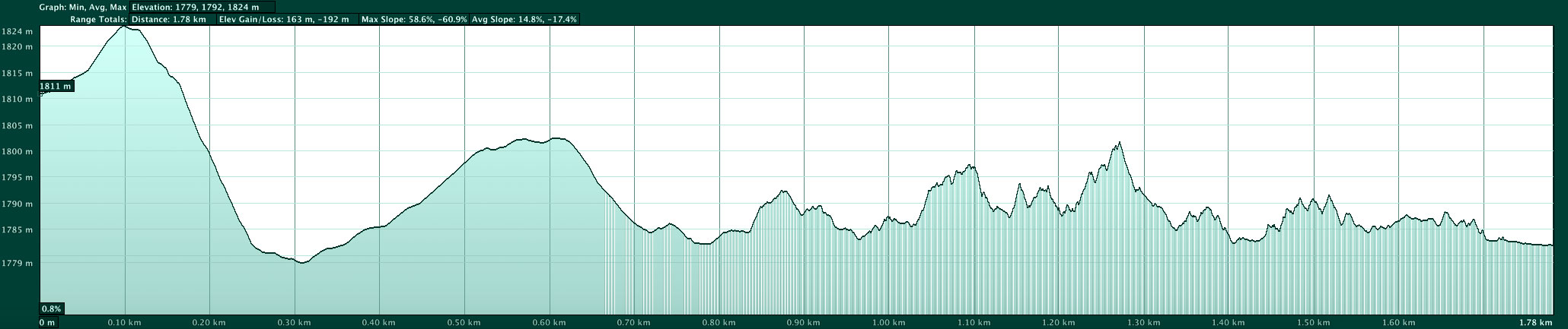
Hike northeast on a path to the edge of the cut block and the top of a bank. Here the trail is quite obvious and drops a short distance and then levels out. There is an outfitters campsite at Dainard Lake and the trail does continue along the south bank. If you wish to reach High Lake take the trail to the east end of Dainard and begin a steeply ascending traverse through an avalanche path. There is no discernable trail but avalanche debris was removed in 2014. Cut below the cliff band until you reach more open terrain and then head northeast until you reach High Lake.
Dainard Lake shares the same initial access as Wolverine Pass.
From Golden drive east on the Trans Canada for 25.7 km and turn right onto the Beaverfoot Forest Service Road (FSR).
All sign markers on the Beaverfoot FSR take their reading from the bridge over the Kicking Horse River (set your odometer to “0” on the other side of the bridge).
Note: new logging roads can be built in any given year; so there may be more junctions than noted below.
Follow the Beaverfoot FSR to 23.5 km
23.5 km take left fork.
34 km continue straight through.
39 km turn left onto the Thomas branch road.
Follow the Thomas road staying left at several Y-junctions.
43.7 km care is required where a culvert has been removed and replaced with a deep swale in the road.
46.5 km the road crosses a large stream after a big hill, and swings north to another fork.
Take the left fork which ends in a cut block.
Park here.