When people refer to Certainty Mine Trail, this is the trailhead starting point to which they are usually referring.
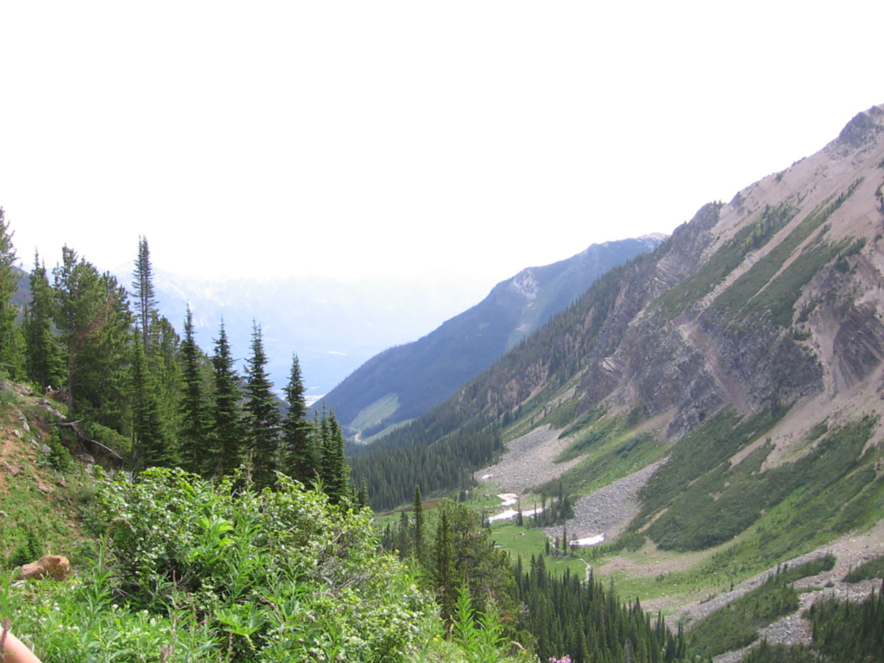
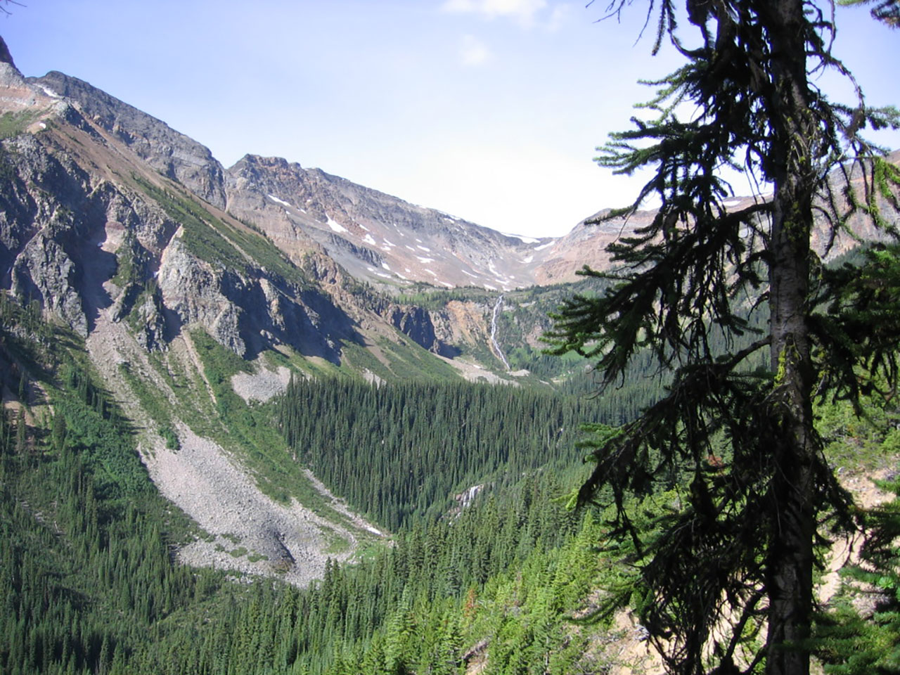
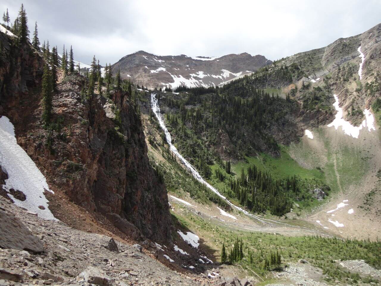
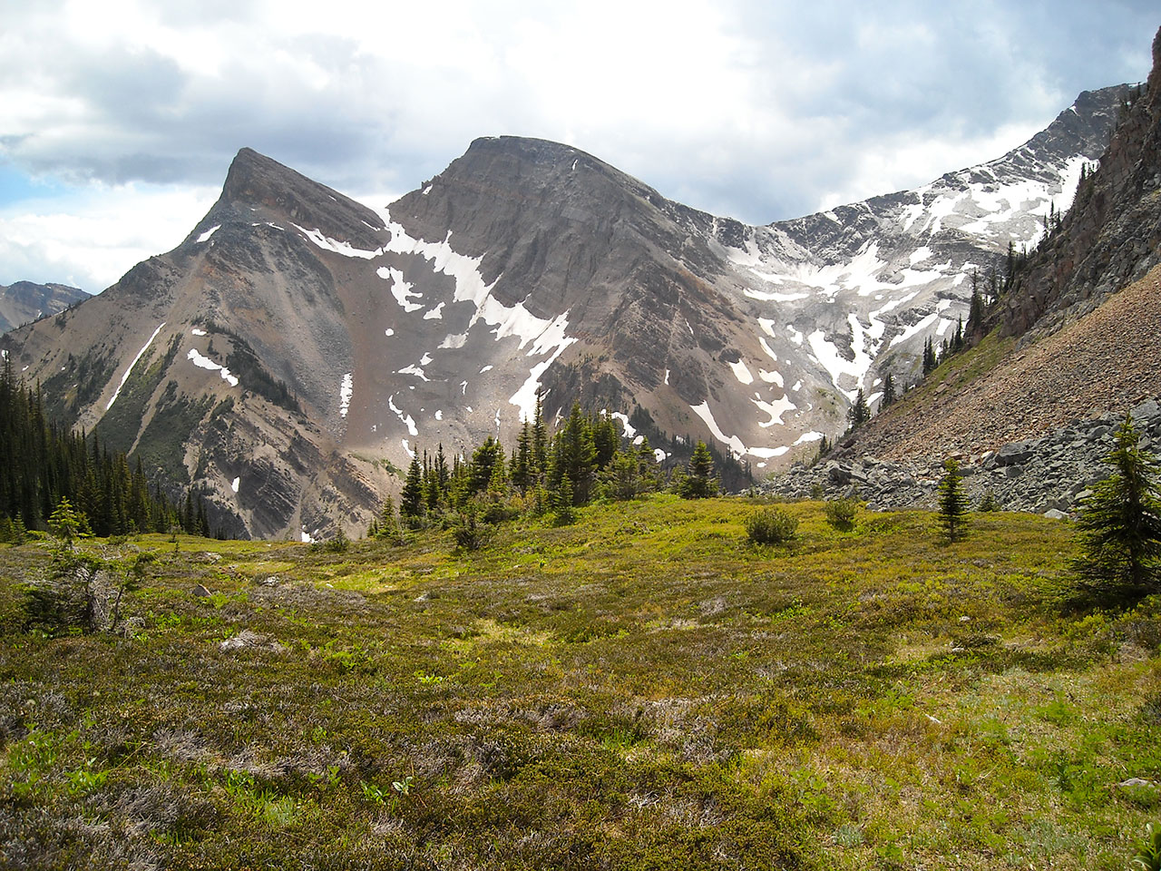
Certainty Mine Trail is a hike deep into an alpine valley. The trail has historic significance given it was originally established at the turn of the century to access mining operations in the sub-alpine of the 12 Mile drainage. While the mine site is non-descript – essentially depressions in the ground – the trail is a testament to the longevity of well-built trails.
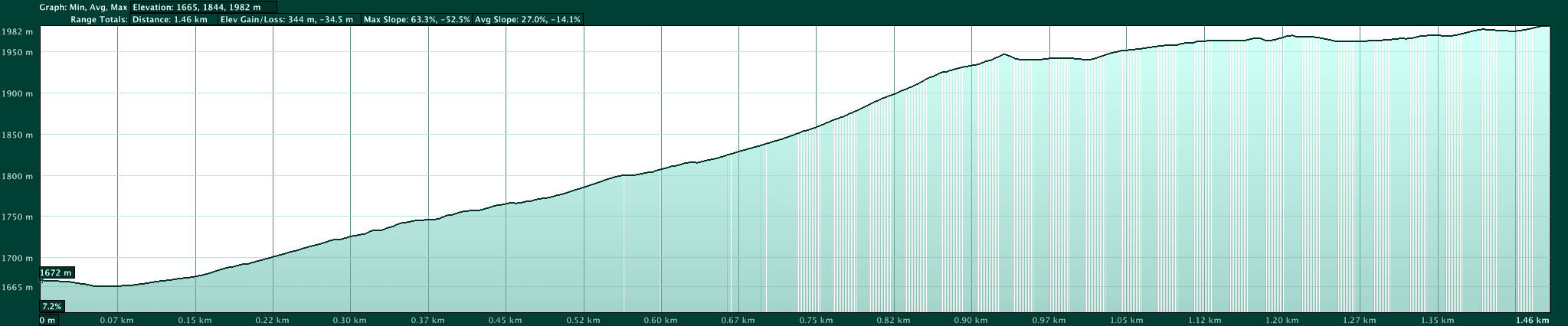
The trail described here is accessed from the Upper Trailhead found in a cut block high up in the 12 Mile drainage. By accessing Certainty Mine from the Upper Trailhead you will eliminate almost 3/4 of the trail so that the surrounding alpine can be reached in short order. However, you will require a high clearance vehicle to reach the Upper Trailhead. Without a high clearance vehicle you may want to start at the Lower Trailhead (see Certainty Mine Lower Trailhead)