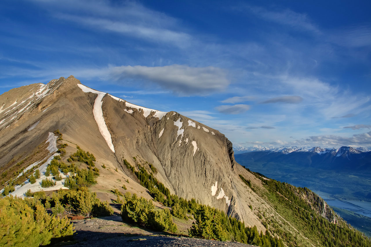
A hike up to the upper paraglider launch site from the main (ie lower) paraglider launch site. The trail ends at the NW ridge leading to the peak of Mt 7 another 200m above. Great views of the Columbia Valley, and you might see paragliders taking off.
Mount 7
Synopsis
Hike
Trailhead
Note: you will be following a 4×4 road without any signs for quite some time and with various options. It can be confusing. The road is very steep and unrelenting. Downloading the Trail KML provided on this page will be helpful (or at least upload it into Google Earth and have a look at all the junctions).
Here goes: From the parking area walk back along the road for 200 m (depending on where you parked) until there is a dirt road heading off to the right. Head up this road. (During the summer, there may be some four wheel drive vehicles using this road. We don’t recommend driving this road.)
Trail
Right away you reach a fork with options of left or right. The left fork is more direct and is recommended.
From the aforementioned fork you will follow the road for about another 1.4km until you reach a second fork; take the left hand choice again. Just 100m further along you round a corner where there are three forks in the road. Take either: i) the middle fork which travels up the road and eventually dead ends in a clearing; or ii) the right hand fork which follows a steep grind up the road for 300m up to the clearing. Both these options connect at the top in the clearing (the middle option just described is only 100m longer than the steep right option). Either way, once at the clearing, look for the obvious single track trail dropping off the ridge to the south (ie. towards the peak). Follow this trail as it drops down to the col and climbs up to a knoll.
Continue further along the trail until it emerges on a rocky rib, and follow the rib up to the windsock at the top launch area. From this point how much further you travel up the ridge is up to you. Be safe and know your limits.
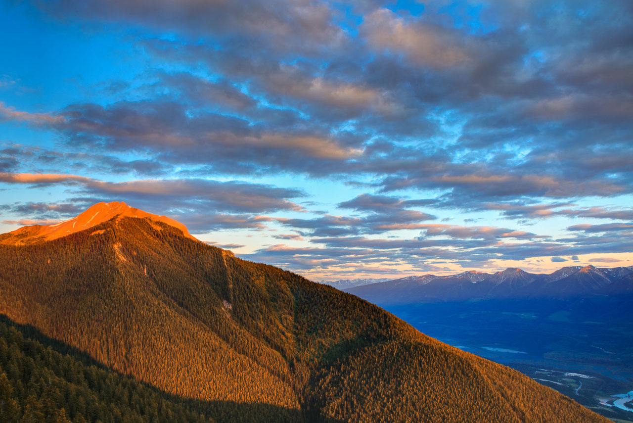
My recommendation is to do this hike very early in the morning. It’s really special to watch the sun creep across the landscape down in the valley, and you’ll miss all the traffic.
Trail Map
Download & Print
Access
Head south from Golden on Highway 95 and turn off at Reflection Lake 200 m past the railway overpass Go straight through the Y-junction (do not go right) and follow the road up the hill. Turn right on to the Bowle-Evans FSR, set your odometer to 0 here, and drive up the road for 13.8 km to the parking area. [read more]
Some notes on the road: at 6.6 km stay right, at 7.6 km go straight, at 8.1 km stay right and at 11.8 km stay right. There are now kilometre markings for the whole route.
Cautions
For a forest service road, this one has an enormous amount of traffic. It also has rough sections, steep dropoffs, and switchbacks. Exercise extreme care. The mountain is riddled with mountain bike trails. Watch for bikes both while driving and while hiking.
Photos

Elevation Profile
